
Preliminary Winter 2013-2014 Winter Outlook
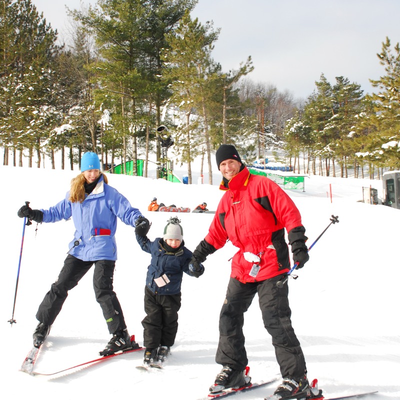
Great news for the Wisp?? “Much above average snowfall”:

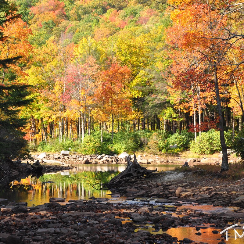
Winter 2012-2013 left a lot to be desired, with the exception of some late winter snowstorms that effected the mid-west and Northeast and the cold spells that lasted late into the month of may, with even snow falling in the mountainous areas of the northeast Mid-May of 2013. Now was this just winters last gasp? Or was it a sign of things to come. Well we will look into different facets of that as we go through this outlook. Now first as always lets look at the factors that will go into this forecast outlook. Please not that since this outlook is preliminary, not all factors are taken into equation, this is because those other factors have a high probability of changing between now and by time winter comes. Factors for preliminary Winter 2013-2014 Outlooks: State Of the ENSO- Currently classified as Neutral, but latest surface temperatures show la-nina developing despite models projecting it to go another way. My prediction, Weak La Nina. –
See more at: http://weatheradvance.com/preliminary-winter-2013-2014-winter-outlook/#sthash.7lRTPZ9L.dpuf
Posted on 08/12/2013 in garrett county