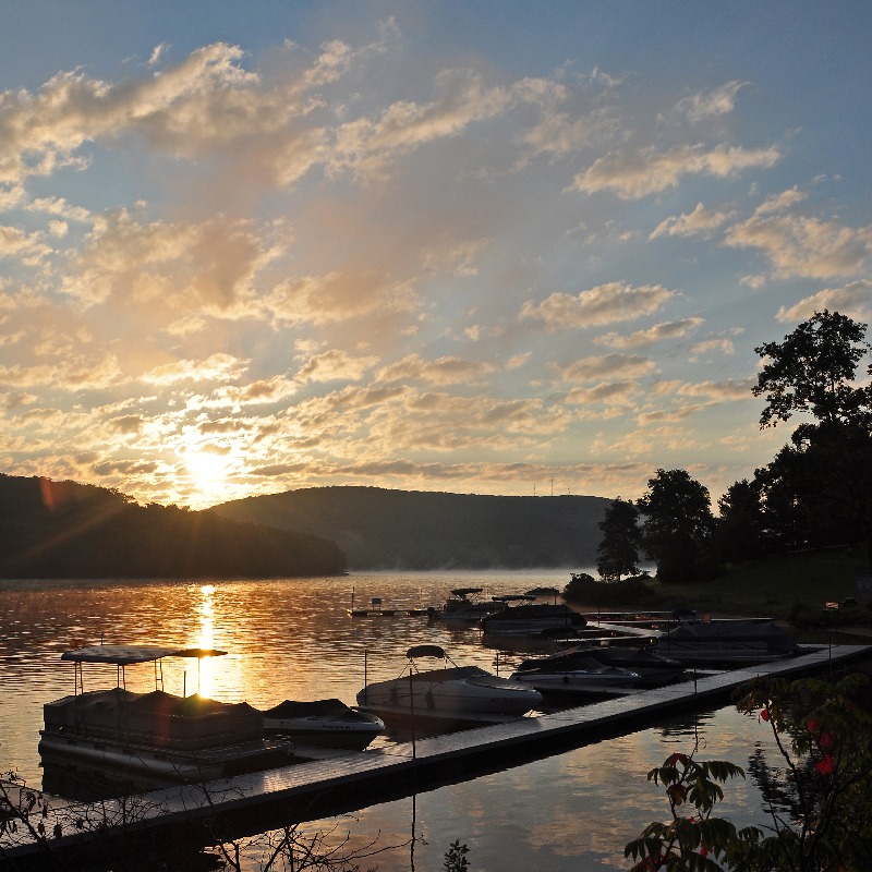
First Deep Creek Lake Visitors Map
The first Deep Creek Lake visitor’s map?
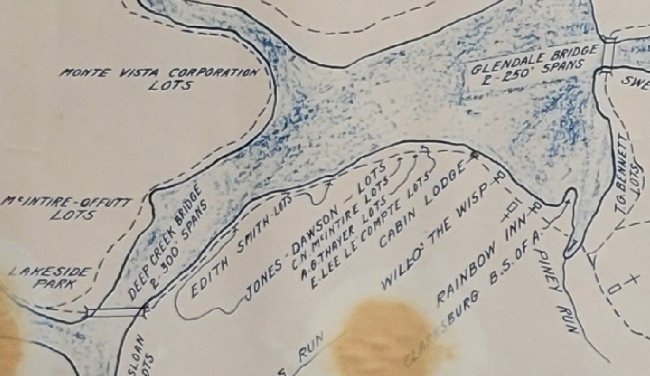
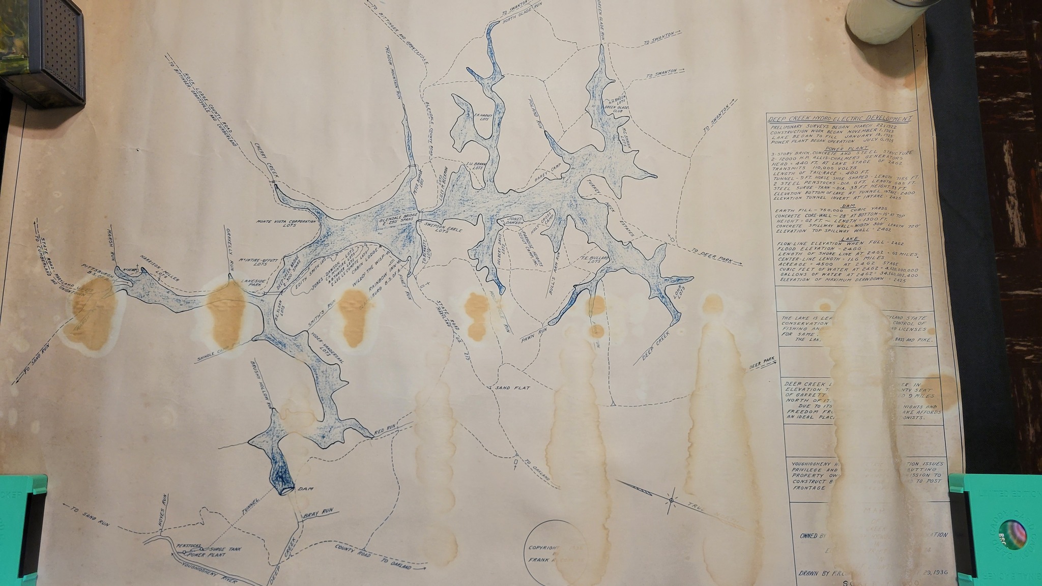
This 1936 map was made by Frank Corliss, who was in charge of the surveying for the original land acquisition of the lake. Labeled with roads, the businesses along the “strip” on 219 and lot owners, along with the factoid info on the right, it looks a lot like a visitor’s map to me.
Lots of cool details and info on here – stuff that’s long gone and some things that are still here.
For more info on the map, Frank Corliss and a downloadable bigger version, head over to Chris Nichols website: https://dimesy.com/…/the-first-visitors-map-of-deep…/
Posted on 05/05/2023 in Uncategorized # deep creek, deep creek lake, garrett, garrett county, maryland, mountain